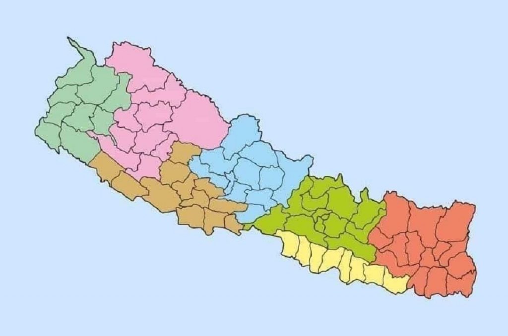
A cabinet meeting held on 18th May 2020 has endorsed the updated political map of Nepal that incorporates Limpiyadhura, Lipulekh, and Kalapani as Nepali territories.
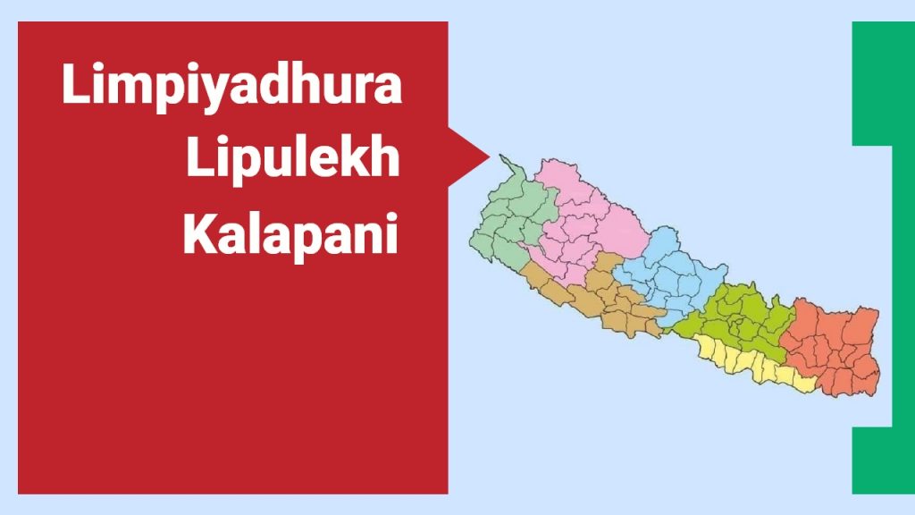
A cabinet meeting held on 18th May 2020 has endorsed the updated political map of Nepal that incorporates Limpiyadhura, Lipulekh, and Kalapani as Nepali territories. The new map of Nepal has been made public.
The Oli government was under pressure from members of the public and leaders of the ruling as well as opposition parties to publish a new political map of Nepal after India announced that it had inaugurated a road link via Lipulekh. According to the 1816 Treaty of Sugauli signed between Nepal and British India, the Mahakali river marks the boundary between Nepal and India—east of the river is Nepal and west is India. The disputed land of Kalapani, Lipulekh and Limpiyadhura have remained a permanent irritant in Nepal-India relations and time and again India was conducting activities on the disputed lands. The government of Nepal has been tolerating this since long and now it has come to an end.
The government also confirms that that the updated map of Nepal will be used everywhere including textbooks, the government’s seal and for all administrative works.
More articles